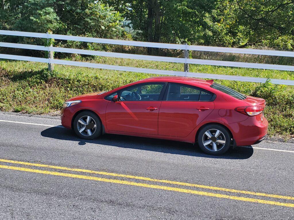
The long drive back from the USA to Canada set off at 6 am. I had to leave early enough to beat the early morning traffic from Raleigh, North Carolina heading towards Virginia. The drive to Virginia was smooth, using the secondary roads, avoiding the major dual carriageways, and taking precautions to evade the traffic snarl-up in Washington, DC. After 8 hours, I arrived in Gettysburg at the border of Maryland and Pennsylvania, where I had booked a stopover Airbnb.
Gettysburg is a historical town famous for the 3-day battle in July 1863 by the Union and Confederate forces during the American Civil war. On my arrival, heading towards the Airbnb, I drove passed the Gettysburg National Park admiring the conservation from a distance. I got carried away and missed several turns, but I was exhausted after an 8-hour drive to care about going to the museum.
Navigation
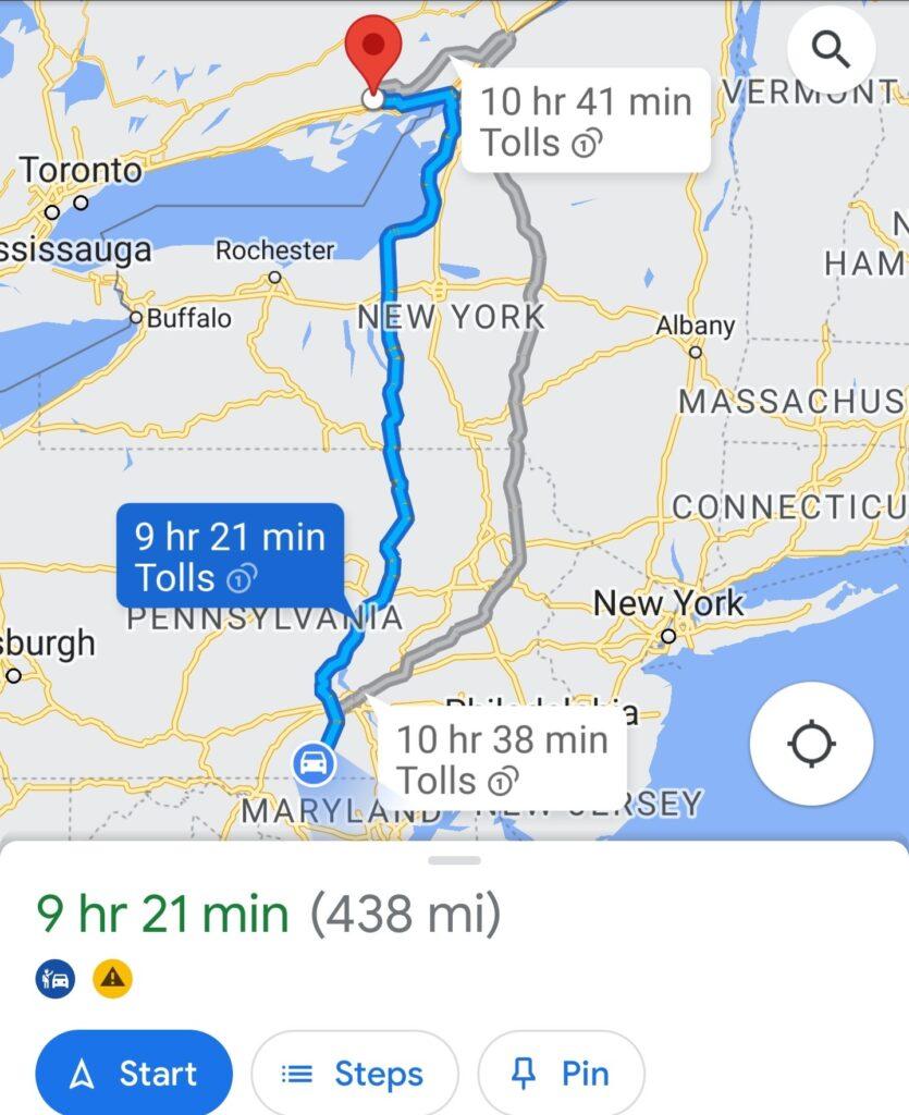
I left the following day at 10 am, continuing with the rest of the journey from Gettysburg towards the Canadian border. One challenge on such long-distance trips is navigation. The two viable options are standalone GPS or real-time google maps GPS. The standalone GPS navigator has drawbacks, such as not forecasting real-time situations on the road, including closures, detours, accidents, or bad traffic.
The real-time google map navigation remains the most favourable because it is constantly updated to reflect the situation on the road in terms of traffic. The google map navigation always reroutes to find better, quicker, and more precise routes. Another critical thing to note is that google maps navigator works without an internet connection as long as the road is mapped and downloaded.
I set out on the second leg of my trip, and after a few missed turns and rerouting, I crossed over highway 81, the longest cross-countries highway, and wished I had gotten onto it to avoid so many frustrations. I proceeded on the secondary roads, which was my best decision so far.
The Enchanting Mountainous Countryside
The road I took, Highway 34 in Pennsylvania, led me to the mountains. As lonely or dangerous as it may sound, this was the most adventurous and exhilarating part of the trip. Driving across the mountains on the clean, smooth, deserted, and winding roads was satisfying.
The green, lush, and expansive forests and farm fields full of corn, soybean, and farmhouses with majestic silos across the valleys were enchanting. The topography of the area and the long winding road cutting through the belly of the mountains like a shiny black cobra was magical sight to behold. I passed some affluent homes with expansive white houses, large compounds, immaculately mowed lawns, and white picket fences.
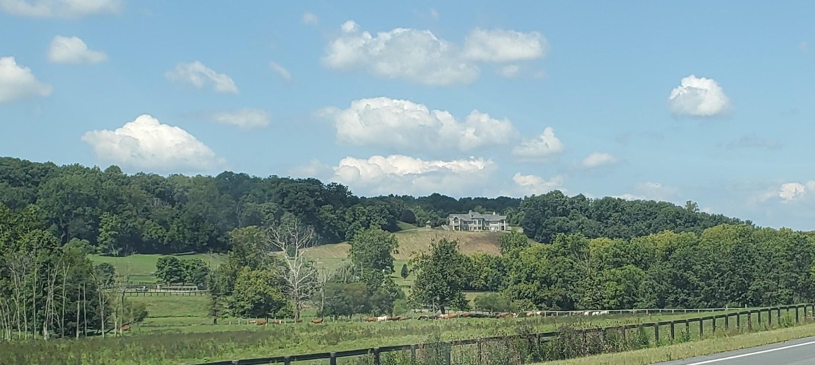
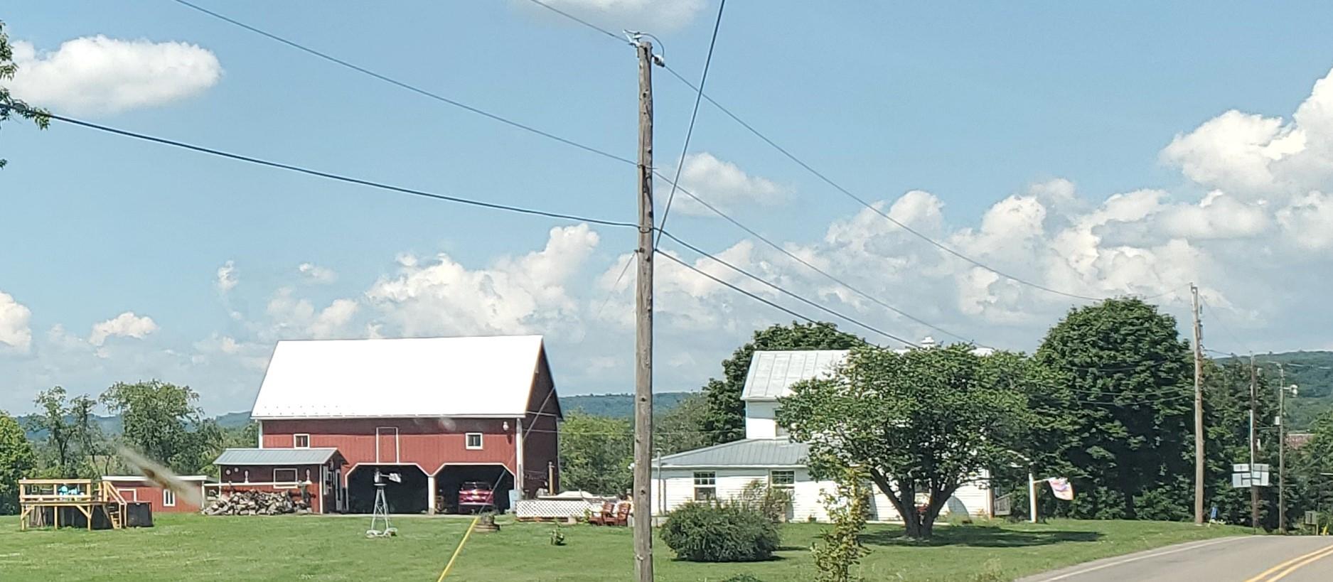
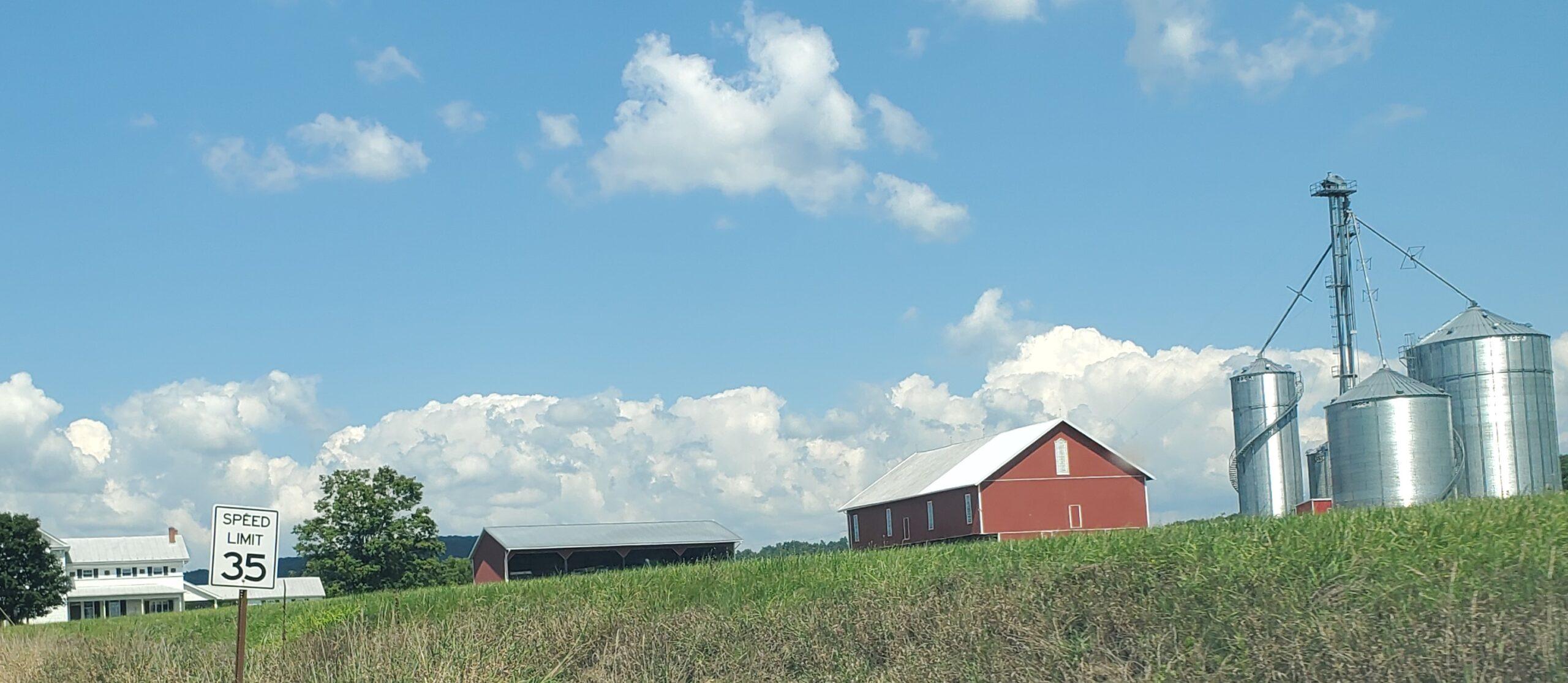
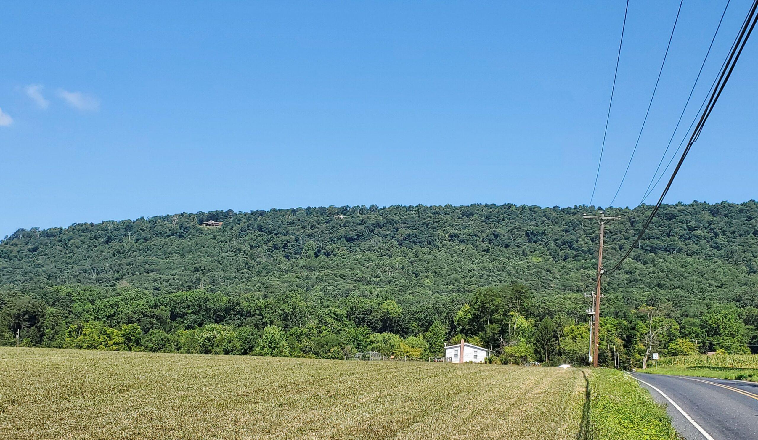
Occasionally I would drive past cows, sheep, goats, or horses grazing peacefully in the fields behind enclosed electric fences. I sightings a few deer grazing by the roadside or galloping into the forest. Deer only look harmless and cute as long as they don’t cross the road in front of you, as they can cause life-threatening collisions. Such collisions involving wildlife can be fatal and dreaded by every cross-country driver.
I felt like I was in paradise. Blasting Hillsong’s, Through It All, and other soothing and uplifting songs from the car speakers as I drove along made me want to drive forever. Music is the best driving companion.
Learn as You Go
Occasionally I would stop to take pictures if it was safe to do so or if I saw something piqued my interest. I noticed that most of the settlements along the highway were scattered and consisted of small, close-knit families of less than 1000 people at a time. Most of the towns were small.
There could be a town with amenities like a bank, a dispensary, a family-owned restaurant, a garage, and a few retail shops. What remained constant was the presence of a tavern. Most of those small towns had a tavern (bar) where people went to relax after a hard day’s work to irrigate their throats with enthusiasm-inducing beverages and other indulgences.
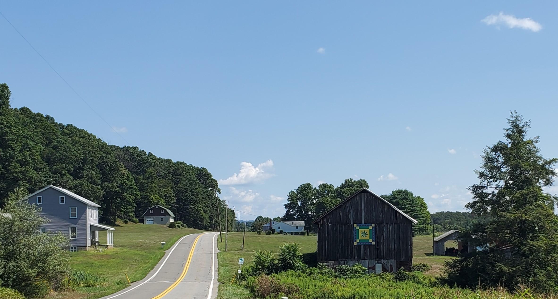
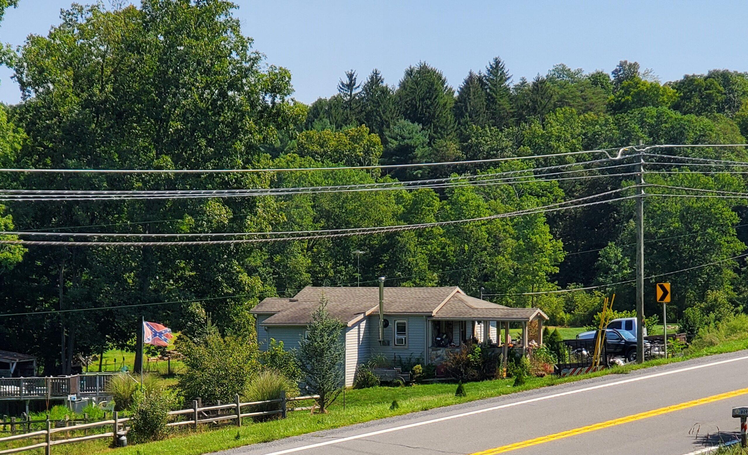
While on the road, I passed a home by the roadside that had erected a confederation flag, and a few kilometers ahead, there was a barn bearing the Natives painting. These are some non-verbal signs and pointers to a foreigner passing through another land. For example, what to expect about the attitude of the local people.
It also helps to know where to seek help in an emergency and where to stay away. In places like that, a young black woman like me would be very cautious about making stopovers to use facilities or buy anything at the small convenience stores. For example, what is the attitude or tolerance of the locals towards foreigners of diverse races and cultures?
The other place I passed was Albany town which was a depressing sight. The remote part of town I drove past looked so rusted and decaying in time. Some of the expansive buildings by the roadside looked deserted and ran down with paints chipping off the walls of the building. As usual, there was a bank here, a garage there, a convenient store and a tavern. Oh! Earthlings’ insatiable need for enthusiasm inducing refreshment and indulgences.
It was easy to tell religious faiths prevalent in the area as I occasionally passed a Baptist or a united church along the way. That indicates that Catholicism and Islam haven’t infiltrated those parts of America.
Another thing I noticed, too, was the absence of oil corporations and departmental chain stores around the area until I reached Ithaca, New York. The only departmental store I saw was called Dandy, which was the name I saw on the gas stations too. Beneath the name Dandy was a logo of some old bearded white man like Harland Sanders of KFC. There were no fast-food franchises like MacDonalds and Co. either in these wooded areas.
These towns are so small that there are probably no significant economic activities besides farming and logging. Occasionally I would encounter or pass a trailer filled with immaculately cut and neatly arranged logs being transported from the mountains.
The logging activities are evident in the bald patches and stretches left bare on the forested mountains. Besides farming, other small economic activities would be the small retail shops and car garages to repair and maintain the farm equipment.
It is also important to note that all the convenient shops I stopped by with gas stations to refuel in Maryland, Pennsylvania, and New York all belonged to East Indians. On my previous trip, I noticed a similar occurrence when traveling to America from Canada.
The only two shops I went to that were run by non-East Indians, including the one they refused, that I could not use the customer washroom and demanded my money back that I had intended to refuel gas.
Historical Mentions
Besides Gettysburg, Pennsylvania has other historical sites like the Johnstown and the Quecreek Mine. In the nineteenth century (May 31, 1889), a dam in a coal and steel mining town burst its walls and flooded Johnstown killing more than 2,000 people.
The Quecreek mine is an inspiring account of a miraculous rescue of coal miners trapped for over 77 hours underground. The incident happened in Somerset County, Pennsylvania, on July 24- 28, 2002. I would have loved to drive through these places if time and situation permitted.
Infrastructure Is the Nerve of Every Economy
The overall appreciation of this cross-American Canadian border trip is the developed infrastructure. The beautiful, functional, navigable roads and transportation facilities made such trips less overwhelming.
A developed infrastructure, and excellent roads, facilitate more accessible and faster movement of goods and services, contributing to a country’s economy. With the money that I carried from Canada, in every small town in the USA where I had a stopover along the way to refuel or buy anything at the convenience store, I brought business; I left money there. I contributed, albeit in smaller ways, to building those economies.
There was a close encounter head-on collision pile-up at Daysville, highway 3 in New York. Highway 3, I observed, is in Amish county. It was the only place I encountered Amish buggy transportation dragged on the road by horses. Two buggies were drawn by horses carrying a pair of young boys following each other.
Cars trying to overtake the buggies were not seeing the first buggy already down the valley. As the two vehicles sped fast in tow, avoiding the wagon, they almost ram on the oncoming traffic head-on. The rest of the 2 hours trip passing through New York through Oswego, and Water Town to the US-Canadian border at Ivy Lea was smooth.
In conclusion, this trip was also an anthropology crash course. If you have an emergency, take a flight. If you are in a hurry, hit the dual carriageway, but if you want to learn and marvel at the wondrous beautiful nature and her people, take a road trip on secondary roads.
If you have some money at your disposal, spend it on experiences. The experiences will stay with you forever, and you will always have something to start a conversation.
